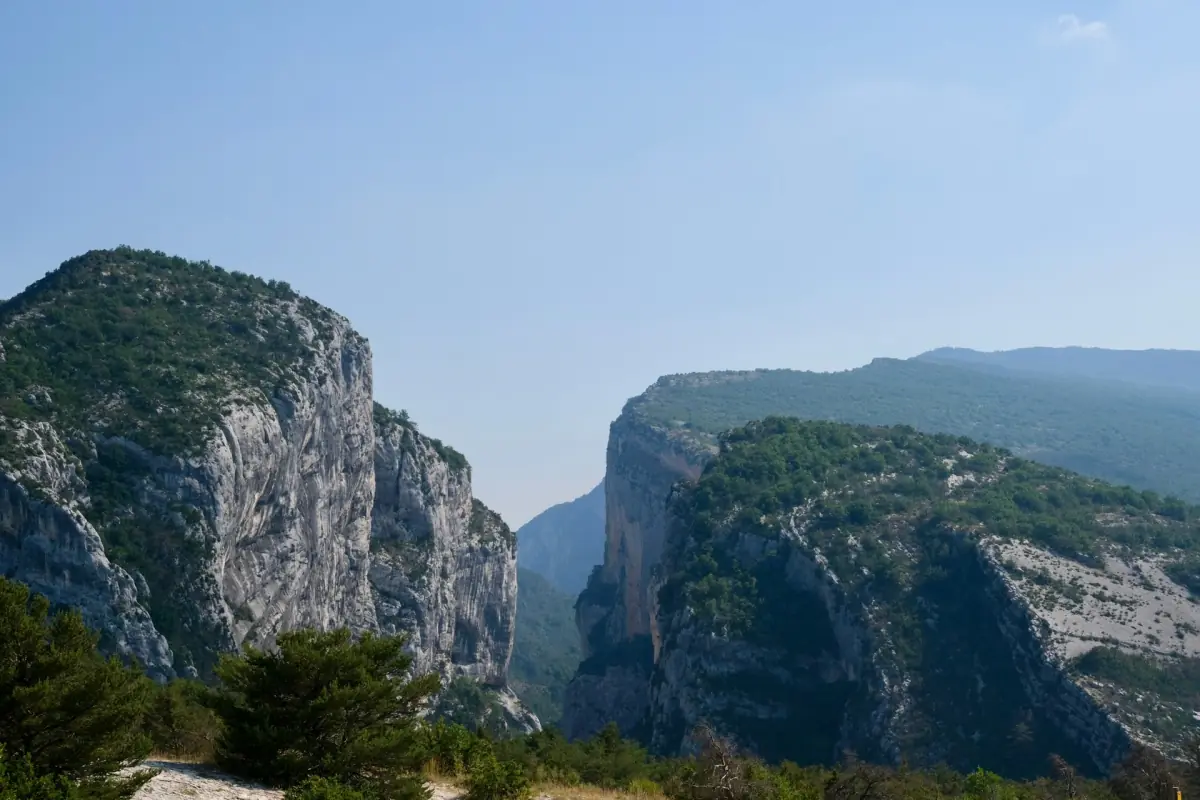
Verdon Gorge weather by month
The best time to visit Verdon Gorge is different for a lavender trip, a day on the lake, a rafting run and a drive along the rim, so this page ties each plan to a season instead of naming one winner. The Verdon Gorge weather table below comes from the Météo-France station at Aiguines, at 563 m, in the edition of 15.10.2026. Its values rest on the years 2004 to 2020 and show the monthly mean of the daily highs and lows and the mean monthly rainfall. They are no forecast, they contain no 2026 values, and the higher rim of the gorge can differ from the station.

A full-day lavender tour
This full-day tour is seasonal, so match your date to the lavender bloom before you book.
Hand-picked tours, booked through GetYourGuide. Prices are indicative starting prices in euros (as of October 2026). Tap a tour for live availability and the current price in your currency.

Lavender day trip
A guided full-day trip by minibus from Aix-en-Provence to the lavender fields, depending on the season.
Monthly climate at Aiguines
Mean daily high and low and mean monthly rainfall, 2004 to 2020.
| Month | High °C | Low °C | Rain mm |
|---|---|---|---|
| January | 10.5 | 0.3 | 63.8 |
| February | 11.3 | minus 0.1 | 53.5 |
| March | 15.0 | 2.5 | 62.3 |
| April | 18.6 | 6.1 | 78.2 |
| May | 22.2 | 9.6 | 80.8 |
| June | 27.1 | 13.5 | 64.5 |
| July | 30.5 | 15.6 | 35.3 |
| August | 29.9 | 15.4 | 52.3 |
| September | 25.3 | 12.7 | 54.2 |
| October | 20.3 | 9.6 | 88.7 |
| November | 14.7 | 5.0 | 100.3 |
| December | 11.0 | 1.3 | 71.7 |
Summer
July is the warmest and driest month in the table, with a mean high of 30.5 degrees and 35.3 mm of rain, and August follows closely at 29.9 degrees and 52.3 mm. Swimming areas on Lake Sainte-Croix are listed for July and August at Sainte-Croix-du-Verdon, Bauduen, Les Salles-sur-Verdon and Galetas, with no promise of lifeguards. Swimming in the river is banned by the communes of Aiguines, Castellane, Rougon and La Palud-sur-Verdon. In hot, dry weather, check the daily fire risk level for Var and Alpes-de-Haute-Provence before you walk. See Lake Sainte-Croix for the lake.
Lavender season
Lavender on the Valensole plateau blooms from about 15 June to 15 July, depending on the weather. In 2026 the bloom began on 10.06. and the harvest started on 29.06., spreading over 15 days. That is a record of one year, not a calendar, and nothing guarantees purple fields on a fixed date. Stay on the edge of the fields when you take photos. The lavender fields page has the museum, the Saturday market and the sunset trips.
Spring and autumn
April has a mean high of 18.6 degrees and 78.2 mm of rain, May 22.2 degrees and 80.8 mm, September 25.3 degrees and 54.2 mm, and October 20.3 degrees with 88.7 mm. One rafting provider sets its mid season from 01.04. to 20.06. and from 10.09. until All Saints’ Day, and its longer routes run only then; see Castellane. The hiker shuttle for the Blanc-Martel does not run on a guaranteed daily schedule, and in November it runs at most at weekends, so check the calendar before you plan around it, as described on the hiking page. Boat rental follows each provider’s own season; the base at Les Salles-sur-Verdon lists opening hours of 09:00 to 19:00 in May and September, which are site hours and not boat departures.
Winter
January has a mean high of 10.5 degrees and a mean low of 0.3, and February a mean low of minus 0.1. The middle section of the D23 on the Route des Crêtes, between Pas de Baou and the Chalet de la Maline, is closed from 22.11.2026 to 26.03.2027, while the outer sections are described as open all year; details are on the Route des Crêtes page. November is the wettest month in the table at 100.3 mm, and the faience museum in Moustiers is closed for the whole of January.
Verdon Gorge in December means a mean high of 11.0 degrees, a mean low of 1.3 and 71.7 mm of rain. The closure of the middle section on the north rim is still in force then, so plan a drive along the rim around it and confirm local conditions before you set off.
Which season fits which plan
For lavender, aim for mid June to mid July and watch the local reports. For panoramic drives, stay outside the winter closure. For boats, check the provider’s season and hours. For rafting, look at the mid season. For a first walk on a mild day, spring and autumn bring moderate highs but more rain than July, so keep a rain layer in your bag.
Best time to visit Verdon Gorge: frequently asked questions
What is the best time to visit Verdon Gorge?
It depends on your plan. Lavender usually blooms from about 15 June to 15 July, drives along the rim need the road outside the winter closure, and boats and rafting follow each provider’s season.
Which month is warmest and driest?
July at the Aiguines station, with a mean high of 30.5 degrees and 35.3 mm of rain, based on 2004 to 2020.
Is the Route des Crêtes closed in winter?
The middle section is closed from 22.11.2026 to 26.03.2027. The outer sections are described as open all year.
Can I rely on the temperatures in the table?
They are monthly means at one station at 563 m for 2004 to 2020, so use them as a guide only. The higher rim of the gorge may differ.